The public is advised of heightened risks surrounding all water activities involving the North Saskatchewan and Churchill River systems, and their tributaries, as well as the South Saskatchewan River system.
According to the Water Security Agency. continued high levels of precipitation on these systems have resulted in swift moving water, which can pose a hazard to both the public and property. Conditions can be dangerous and change rapidly, even for those well experienced with water-related activities. Be aware of floating debris and high-water velocities. People are advised to examine and avoid unstable banks.
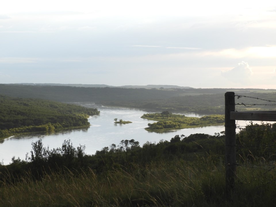
Cumberland House/Northern Saskatchewan
Flows from the EB Campbell Power Station will be increasing to approximately 2,165 cubic meters per second (m3/s) over the next day.
These increased flows, continued rainfall in the area, plus the duration and saturation of the area, including Cumberland Lake, will increase the water levels at Cumberland House. WSA will be estimating the water levels at Cumberland House to determine if there are risks to the community.
Water Security Agency officials will continue to communicate with stakeholders in the community as well as other branches of government to best ensure public safety and community preparedness.
High historical levels of precipitation through Churchill System continue to challenge all of Northern Saskatchewan, with impacts expected from rainfalls centered around Fort MacMurray and another 40mm predicted for Reindeer Lake areas. Peak levels for Northern communities such as Ile-a-la-Crosse, La Ronge and Sandy Bay are a projected 7-10 days off and community preparedness continues.
Anglin Lake
Due to high continuing moisture levels and high precipitation, Anglin Lake has risen to a level of 515.58 meters (m), above its natural spill point of 515.42 (m).
WSA is removing additional stop logs to increase the outflow to attempt to manage the situation, but with many downstream area already experiencing high flows, flooding may be possible.
WSA officials are working to notify downstream stakeholders including RMs, the city of Prince Albert and the Ministry of Highways as soon as possible.


